Anza-Borrego North: Pacific Crest Trail
The Pacific Crest Trail, with several opportunities for day hikes, enters
Anza-Borrego North at the Montezuma Valley Road (S-22). From here it circles
around Warner Springs, turning into the mountains near the airport where it
crosses Highway 79 and parallels the road to the Indian Flats campground.
The next road crossed is the dirt road from Chihuahua Valley to the Lost
Valley Camp of the Boy Scouts of America. Circling around Bucksnort Mountain
and heading toward Anza, the trail crosses the Tule Spring Truck Trail and
then enters Anza-Borrego Desert State Park, crossing the Coyote Canyon Jeep
Trail and Nance Canyon before leaving the park at the Table Mountain Truck
Trail.
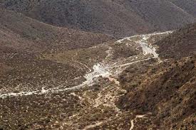
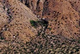
Turkey Track from Coyote Canyon Jeep Trail, Nance Canyon
About a mile east of the Coyote Canyon Road, the Pacific Crest Trail enters
ABDSP at the Table Mountain Truck Trail. Another half mile to the east off
the truck trail, a state park hiking trail goes south on Table Mountain and
turns eastward, dropping into Horse Canyon.
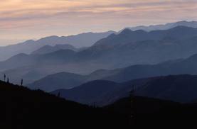
Bucksnort Mountains from Horse Canyon Trail
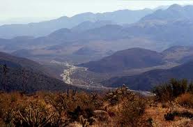
Coyote Canyon from Horse Canyon Trail
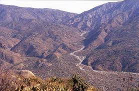
White Wash from Horse Canyon Trail
Medicine Canyon tributary to Horse Canyon Trail
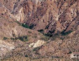
Box Canyon tributary to Horse Canyon Trail
|