|
Anza-Borrego North: Clark Dry Lake
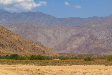
Rockhouse Canyon Road Headed North from Clark Dry Lake
When Rockhouse Canyon Road is dry, you can drive it about five and a half
miles to where on a slope from Coyote Mounain
descends almost to the road at survey marker Noll. Beyond this point the
sand can get soft and is best negotiated in a four-wheel drive vehicle.
Of course, you likely won't get even this far after a rain when the road
is muddy. The soft soil of Clark Dry Lake can be treacherous after a rain.
An area of ample parking west of the road makes a good base for hiking
and mountain biking to such points as Butler Canyon, Hidden Spring, and
Rockhouse Valley. To get here, you will have driven past dense mesquite
around Clark Dry Lake. This is good birding habitat described by Melvin
L. Gabel in
Guide to Birds of the Anza-Borrego Desert by Massey.
Alcoholc Pass is a walk of about three and a
half miles. It is possible to climb onto the long flat ridge north of Coyote
Mountain from this side.
There are petroglyphs near a survey point identified as Corp on the Clark
Lake NE topo map (7.5-minute series). Schad (Afoot and Afield in San
Diego County) describes a hike from here to Peak 6582 in the pinyon-juniper
high country near Rabbit Peak.
|
|

|
|
|