Central Anza-Borrego: Scissors Crossing
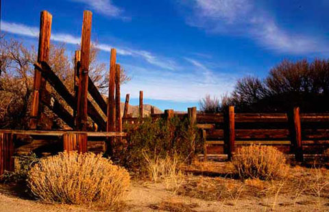
The Former Sentenac Ranch near Scissors Crossing
Scissors Crossing is the point where northbound County Road S-2 joins Highway
78 and follows the route east several yard across San Felipe Creek before
turning north again. On the map, the junction between the two routes might
be said to resemble a scissors.
Scissors Crossing is also the place where Earthquake Valley (the community
of Shelter Valley) on the south joins San Felipe Valley on the north. It's
an important area, not only because it's a crossroads but also for:
Hiking – The Pacific Crest Trail crosses Highway 78
just east of Scissors Crossing. The California Riding and Hiking Trail comes
up Earthquake Valley east of County Road S-2 and crosses the North Pinyon
Mountains into Plum Canyon just south of Sentenac Cienega.
Birding – Sentenac Cienega at Scissors Crossing is
a popular birding area.
Wildflowers– The first 100 yards or so of the Pacific
Crest Trail north of Highway 78 are always good when cactus is in bloom.
See also:
County Road S-2
|