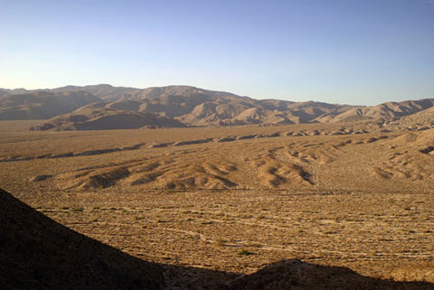
Central Anza-Borrego: Mescal Bajada
Mescal Bajada and Pinyon Mountains
Cove, Chuckwalla Wash
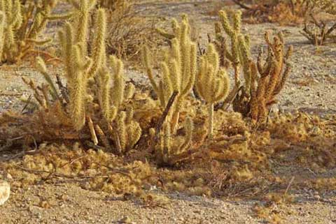
Gander's Cholla and Packrat Den
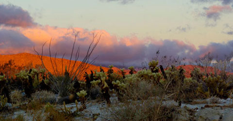
Mescal Bajada from Yaqui ridge
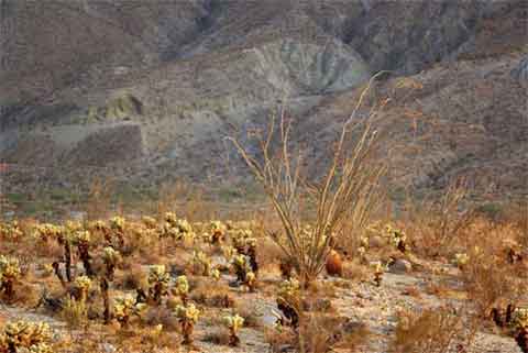
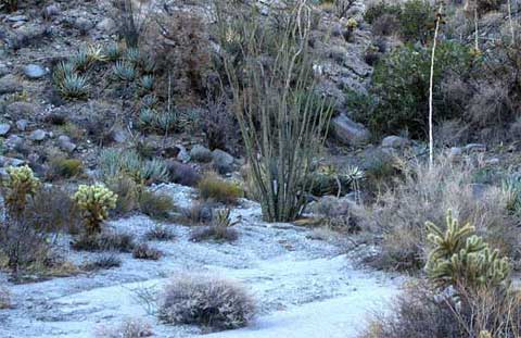
Mescal Bajada with Pinyon Ridge in the distance
Driving east past Tamarisk Grove Campground on Highway 78, it may appear
to you that the North Pinyon Mountains to your right have pulled or slipped
away from the road, leaving a large mostly flat sloping surface. If you walk
this area, which is called Mescal Bajada, you will notice the ground close
to the surface is hard.
A bajada is an accumulation of sand that has washed down from the side of
a mountain, but that isn't what we have here. This is what geologists call
a pediment. Pinyon Pediment might be a more appropriate name. The terrain
changes abruptly when you reach the soft sands of Pinyon Wash at the foot
of Sunset Mountain.
Mescal Bajada lies south of Highway 78 between Stag Cove on the west and
Sunset Mountain to the east. There are jeep trails at Stag Cove, Mine Wash,
Pinyon Wash, and Quartz Vein Wash. Chuckwall Wash and the Narrows Nature Trail
are for hiking only.
|